


5,3 km | 6,9 km-effort


Usuario


Aplicación GPS de excursión GRATIS
 SityTrail
IGN / Institutos geográficos
SityTrail World
El mundo es suyo
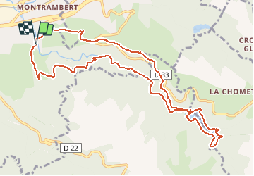
Ruta Senderismo de 12,1 km a descubrir en Auvergne-Rhône-Alpes, Loira, Le Chambon-Feugerolles. Esta ruta ha sido propuesta por TheRingoKid.
Un grand tour qui vous fera découvrir la vallée de Cotatay et ses curiosités.
Départ : Cotatay quartier des eaux vives
Arrivée : Cotatay quartier des eaux vives
Points d'intérêts le long du parcours :
- caserne Holtzer
- chapelle de la Sauvanière
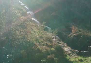
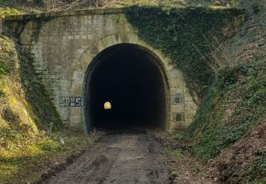
- aqueduc du Lignon
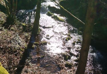
- grotte de Cotatay
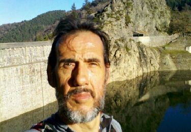
- barrage de Cotatay
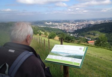
- croix et table d'orientation du Bessy
Bonne promenade
Senderismo

Senderismo
Otra actividad
Senderismo
Senderismo
Senderismo
Senderismo

Carrera
Carrera